


Time and Tides: Modern mission timing with the Beachmaster

In Dorset, we have some of the most varied and beautiful coastline in the UK. From open sandy beaches and secret pebble-strewn coves, to shallow natural harbours, exposed rock gardens, and vertical chalk cliffs with stacks and arches. My favourite way to explore all of this is by sea kayak. It's a dynamic way to travel — whether rock hopping and exploring sea caves up close, or tackling an open crossing, heading out on a bearing until land comes back into sight.

Travelling by kayak is just as much about the art of efficiency as it is about the physical paddling. Powered by human effort alone, energy is finite, and every opportunity has to be taken to save it — through good technique, smart boat positioning, and accurate navigation through tide and wind. Keeping track of progress across the water and through a navigation plan is key.
Tidal Streams
Environmental effects have a big impact on sea kayakers. A sustainable paddling speed in calm conditions is around 3 knots, but with winds and tides often moving much faster, it's critical to take these into account. Sometimes they can help, sometimes they can hinder, and at other times they're best avoided altogether.
Tidal streams are caused by water moving as tides are pushed through narrow gaps, over changing sea depths, and around headlands or obstacles. The streams change in both direction and strength as the tides ebb and flow. It's a non-linear change, stronger at certain states of the tide than others.
Tidal streams are documented in tidal stream atlases and charts, with their strengths and directions marked hourly as the tides change. To cover the full tidal cycle, streams are shown each hour from 6 hours before high tide (HT-6) to 6 hours after (HT+6).
Navigation Planning
Before any sea kayaking trip, a certain level of planning is required — and for longer trips and multi-day expeditions, that level ramps up considerably.
To reach our destination safely, we need to understand how the tidal streams will either help or hinder us. This typically involves working out where we need to be at the end of each hour, looking at the flows that will affect us in that hour, and then calculating the bearing we need to paddle to reach that point. The trip is broken down into hourly sections, and if we fail to hit the mark on time, all the following steps will need to be recalculated.

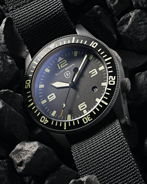
Mission Timing
I used to write my timing list on the deck slate, a small wipe-clean area of kayak deck on either side of the cockpit. It would often become a cramped and messy list of checkpoint names, arrival times, time before or after high tide, the high tide reference time, and local tide times.


This is where the Beachmaster proves incredibly useful. Now, I set the inner bezel so that the 'H' marker sits at the reference high tide time. I then set the GMT hand so that its outer triangle points to the inner bezel at the time interval before or after high tide that we're departing.
The result is a clear, glanceable reference on my wrist that shows exactly where we are in relation to high tide: HT-2, HT-1, HT, HT+1, HT+2, and so on. It's quick, simple, and requires no deciphering or mental effort. Every little helps when you're out on the ocean and things get a bit 'sporty'.

On top of this, the high tide mission timing doesn't interfere with standard time telling. And of course, being an Elliot Brown watch, it's far tougher, more rugged, more waterproof, and considerably more reliable than I am. It's a piece of kit I wouldn't want to be without when I'm afloat.

Give me a wave if you see me out on the water!
David, EB team member